
01Point Cloud Processing & Geospatial Digitisation

Industry: Commercial & Mixed-Use
Office Tower As-Built BIM Modelling
Europe
An LOD 300 as-built Revit model of an existing office tower in Germany, built from scan data for facility management, space planning and future upgrades.
- Point Cloud
- Location
- Germany
- Building
- Office tower
- Scope
- Architecture · Structure
- LOD
- LOD 300
- Deliverable
- Revit model (.RVT)
- Software
- Autodesk Revit
02The Project
From the client's data to a deliverable their team builds on.
- 01
The brief
A client in Germany needed an accurate record of an existing office tower for facility management, space planning, asset tracking and maintenance. The model also had to be a sound base for future office changes, energy efficiency work and infrastructure upgrades.
- 02
Our approach
We received the registered point cloud from the client's survey provider and checked coverage before modelling began. Architectural and structural elements were modelled to **LOD 300** in Autodesk Revit, giving the owner one model for space records, asset tracking and the design of later works.
- 03
The outcome
The client received an as-built Revit model that now serves as the building’s digital record, ready for space planning, maintenance and the design of future upgrades.
03Project Views
Inside the project
Images and videos from this project will be added here soon.
04More Projects
Related work
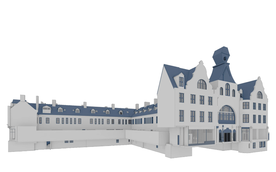
Heritage, Urban & Smart Cities
Heritage Arcade LOD 400 BIM Modelling
For a client in the United Kingdom
- LOD
- LOD 400
- Scope
- Arch · Struct
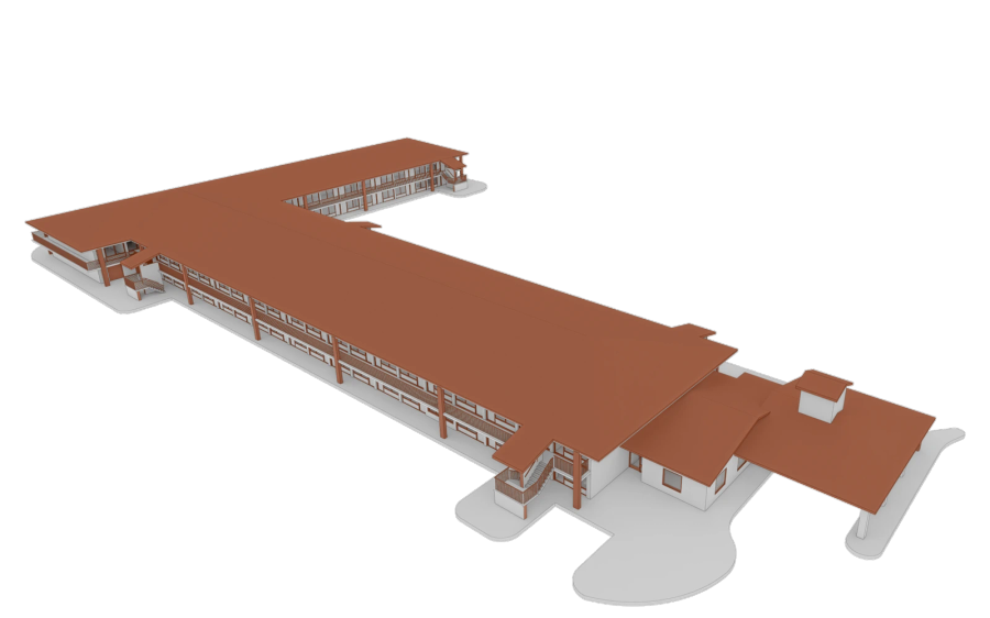
Hospitality & Retail
Boutique Hotel Architectural & Structural BIM, Virginia
For a client in the United States
- LOD
- LOD 300
- Scope
- Arch · Struct
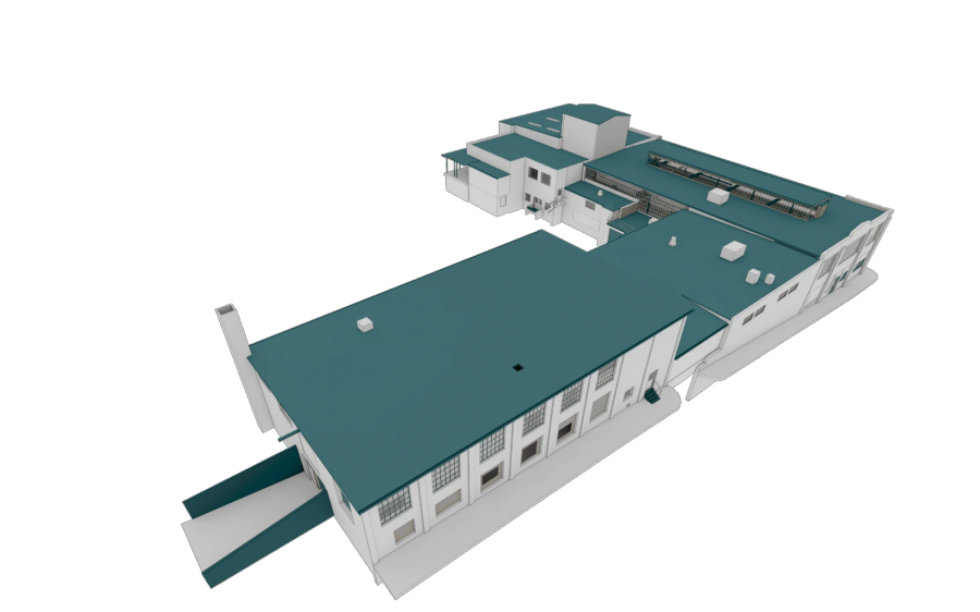
Industrial & Manufacturing
Steam Laundry MEP & As-Built BIM Modelling
For a client in the United States
- LOD
- LOD 300
- Scope
- Arch · Struct · MEP
05Start a Free Pilot Project
Get a Free Pilot Project.
Point Cloud Processing & Geospatial Digitisation, Building Information Modelling, CAD Drafting, Modelling & Detailing, or Architectural Visualisation & Product CGI.
Send us your scan data, drawings, or project brief. We'll deliver a sample BIM model, geospatial output, CAD drawing, or photorealistic CGI render as a 10-hour pilot — at no cost, no commitment, no obligation. Just proof that our BIM, CAD, and visualisation process delivers.
- Zero Risk
- Zero Commitment
- 10-Hour Pilot Scope
- NDA & ISO 27001 Protected
Your pilot runs the same process as your fiftieth project. ISO 9001 certified. NDA-protected. Zero hidden costs.