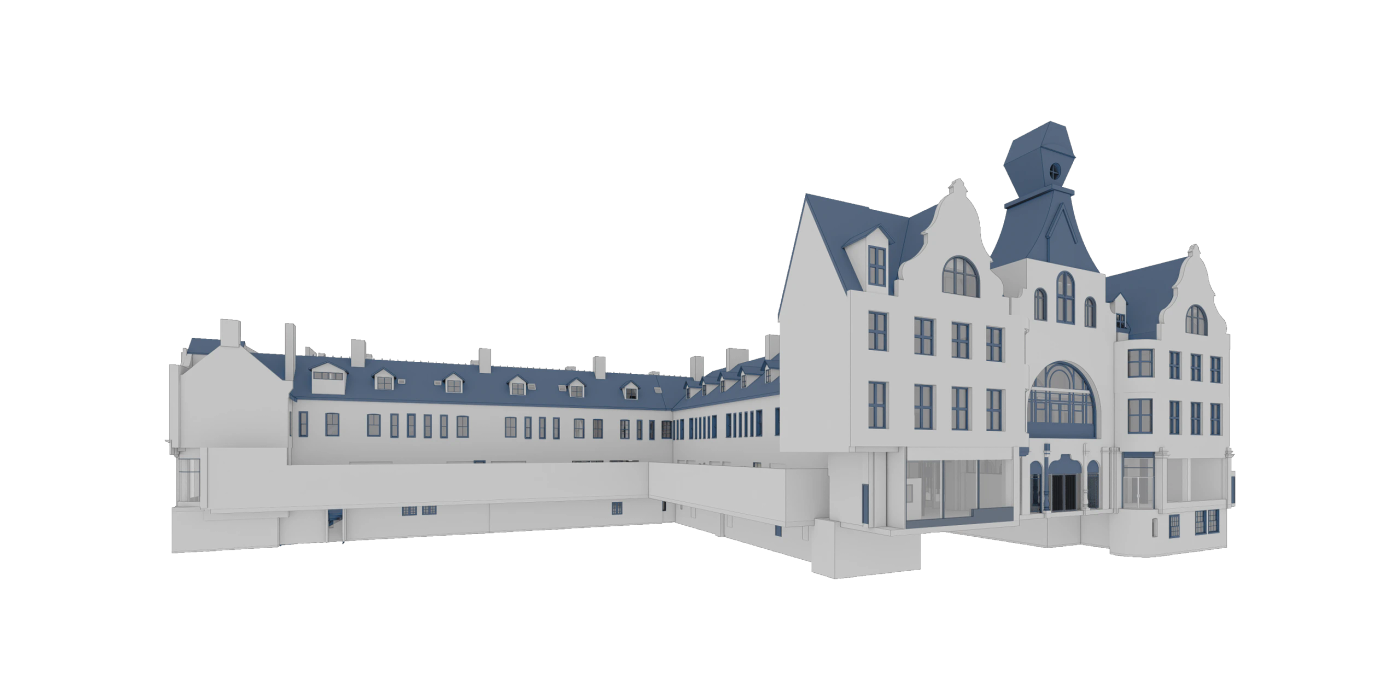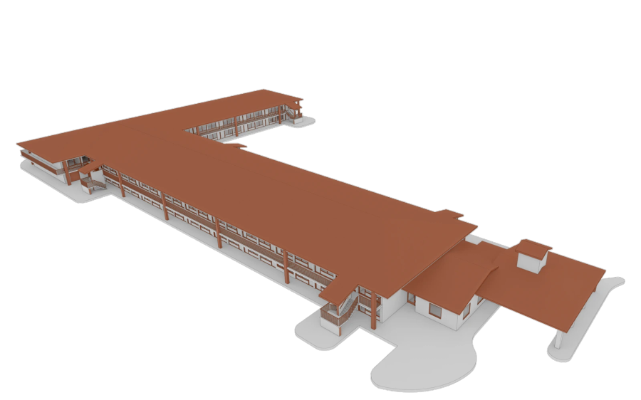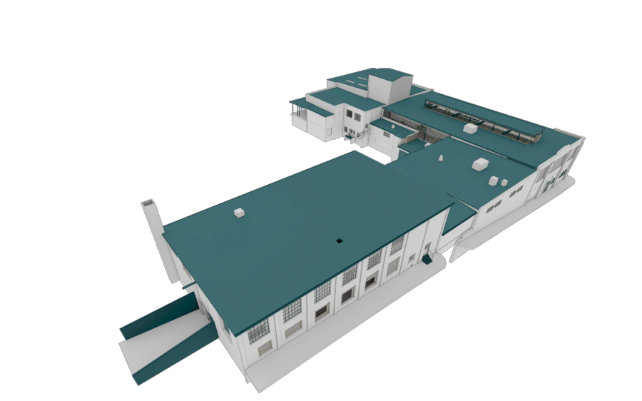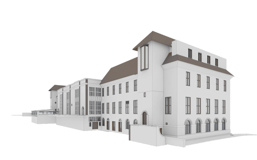






























BIM Models from Point Cloud
Convert point cloud data into accurate BIM models for design, coordination, renovation, construction, and reliable as-built documentation.
01Point Cloud Processing & Geospatial Digitisation
Registration, classification, Scan to BIM, 2D/3D CAD and GIS deliverables from your terrestrial, mobile, aerial, drone and indoor scan data — modelled to your standards and checked through 3-level QA/QC.
Our process delivers the quality.
Every project. Every team. No exceptions.
Your pilot runs the same process as your fiftieth project.
Hover to separate the layers
One dataset · Five ways to use it
Hover a layer to see what happens to your data.





























02From Capture to Delivery
Cosmere processes reality capture and geospatial data from terrestrial laser scanning, mobile and aerial LiDAR, SLAM-based mapping, UAV photogrammetry and other survey workflows.
Data you supply
Before production starts, we define what matters: required elements, model or drawing standard, level of detail/information, geometric tolerance, coordinates, file structure and final application. Model development requirements and geometric accuracy are treated as separate project criteria and verified accordingly.
Defined before production
Check A
Model development requirements
Check B
Geometric accuracy
Two criteria · verified separately
03What We Do
You send the data — captured with terrestrial, mobile, aerial, drone or indoor scanners. Our point cloud teams register, clean and classify it, then turn it into the deliverable your project needs: BIM models, 2D/3D CAD, terrain surfaces, GIS datasets or analysis reports.
Every dataset runs through the same 5-step workflow and 3-level QA/QC, inside an ISO 9001:2015 and ISO 27001:2022 certified process — so your fiftieth project matches your pilot.
41
Point cloud services
8
Capture technologies
28
Software platforms
10
Industries served
25+
Countries served
3K+
Projects delivered
04 · Point Cloud Services
Choose a capture technology to see the services that apply to its data — or browse them all.
Showing all 41 services
Convert point cloud data into accurate BIM models for design, coordination, renovation, construction, and reliable as-built documentation.
Create precise 2D drawings and 3D CAD models from point clouds for engineering, documentation, refurbishment, and as-built requirements.
Register, align, clean, and optimize point cloud datasets to create reliable data for modelling, analysis, mapping, and documentation.
Classify point cloud data into meaningful categories to support faster feature extraction, terrain modelling, mapping, and engineering workflows.
Analyse and monitor repeated survey data to identify structural movement, displacement, deformation trends, and asset changes over time.
Inspect 3D data against design requirements to identify dimensional deviations, defects, tolerances, and measurable quality issues.
Independently review BIM, CAD, and geospatial deliverables to verify accuracy, completeness, standards, and documented quality requirements.
Analyse digital models for clashes, clearances, and coordination issues before construction, fabrication, installation, or design approval.
Transform point cloud data into clear 3D visualisations for project review, coordination, stakeholder communication, and remote inspection.
Compare captured as-built conditions with design models to identify deviations, installation differences, changes, and tolerance issues.
Create accurate digital models of heritage buildings and cultural assets for conservation, restoration, documentation, and long-term records.
Analyse floor surface data to assess flatness, levelness, elevation variation, tolerances, and compliance with project requirements.
Create accurate 3D plant and pipeline models from captured data for engineering, retrofit, maintenance, coordination, and asset management.
Generate DTM, DSM, and DEM surfaces from geospatial data for terrain analysis, engineering design, mapping, drainage, and planning.
Produce topographic maps and contours from surveyed surfaces for engineering design, site planning, grading, drainage, and documentation.
Extract and map buildings, facilities, and site features from spatial data for planning, asset records, design, and GIS workflows.
Map roads, railways, corridors, and related features from geospatial data for infrastructure design, asset management, and analysis.
Map power lines, towers, and corridors, and measure conductor clearances to terrain and vegetation for utility safety and planning.
Analyse vegetation and forestry data to map canopy, height, density, coverage, and environmental conditions for planning and management.
Calculate volumes and cut-fill differences from terrain data for earthworks planning, construction monitoring, quantity checks, and management.
Develop terrain-based floodplain and drainage models for hydrology studies, infrastructure planning, risk assessment, and surface-water analysis.
Compare datasets captured at different times to identify site changes, construction progress, asset movement, and measurable spatial variation.
Create structured 3D urban models from geospatial data for city planning, infrastructure analysis, visualisation, mapping, and digital twins.
Measure stockpile volumes from captured surface data for inventory control, material tracking, production reporting, and operational planning.
Classify land surfaces into mapped categories for urban planning, environmental studies, GIS analysis, change monitoring, and asset management.
Extract accurate horizontal features from spatial data to create planimetric maps for engineering, cadastral, infrastructure, and GIS use.
Extract street-level assets and features from mobile mapping data for GIS databases, infrastructure inventories, planning, and maintenance.
Identify, classify, and map physical assets into structured inventories for GIS, maintenance planning, infrastructure management, and records.
Create accurate 3D models of tunnels and underground spaces for engineering, clearance analysis, coordination, inspection, and asset management.
Generate georeferenced orthophotos and orthomosaics from aerial imagery for mapping, measurement, site documentation, and GIS integration.
Generate detailed 3D meshes and clean CAD models from imagery or scan data for visualisation, inspection, engineering, and records.
Convert Matterport data into BIM models for existing conditions, renovation planning, coordination, documentation, and facility management.
Map indoor spaces, equipment, and facility assets from mobile capture data for operations, maintenance, documentation, and space management.
Digitize physical parts and equipment into accurate 3D data for reverse engineering, inspection, documentation, manufacturing, and asset records.
Digitally document heritage artefacts and objects in 3D for conservation, restoration, research, archiving, measurement, and presentation.
Convert GIS datasets between required formats and schemas to improve compatibility, consistency, interoperability, and spatial workflows.
Georeference spatial datasets and transform coordinate systems for accurate positioning, alignment, interoperability, and mapping requirements.
Convert raster maps and imagery into structured vector data for GIS editing, analysis, mapping, digitisation, and database integration.
Convert CAD drawings into structured, georeferenced GIS datasets for spatial analysis, asset mapping, planning, and database integration.
Clean, review, and validate GIS datasets to improve geometry, attributes, topology, consistency, accuracy, and downstream spatial analysis.
Create coordinated underground utility models in Civil 3D, CAD, or Revit for design, clash review, documentation, and asset management.
05Featured Projects
A selection of recent point cloud and geospatial engagements across sectors and regions — from heritage documentation in the Middle East to smart-city point cloud processing across Europe. Every project anonymised for client confidentiality.
Featured · Heritage, Urban & Smart Cities
An LOD 400 Revit model of a heritage arcade in the UK, recording vaults, arches, masonry, timber and areas of deterioration for conservation and asset management.
View the project06Industries
From single buildings to city-scale infrastructure. Hover a card to see the sectors within each industry.
Office towers, business districts, corporate campuses, mixed-use developments, and high-rise commercial spaces.
Apartments, gated communities, luxury residential, affordable housing, and master-planned developments.
Hotels, resorts, restaurants, retail chains, malls, and entertainment venues.
Hospitals, medical centres, laboratories, pharmaceutical facilities, and research campuses.
Universities, K-12 schools, libraries, museums, and civic infrastructure.
Factories, warehouses, distribution centres, food processing facilities, and heavy industry.
Refineries, petrochemical plants, power stations, renewable energy farms, and utility infrastructure.
Ports, shipyards, offshore platforms, FPSOs, and coastal infrastructure.
Highways, bridges, railways, metros, airports, and aviation facilities.
Heritage buildings, restoration, master planning, smart cities, and digital twin urban systems.
07Software Platforms
Our teams work in the industry-standard tools for every stage — from registration to the native files your team opens on day one.
Registration, cleaning and processing of terrestrial, mobile, aerial and image-based data.
6 tools Leica Cyclone REGISTER 360
 FARO SCENE
 Trimble Business Center
 Autodesk ReCap Pro
 Agisoft Metashape
 Terrasolid
Deviation, deformation, flatness and as-built vs design analysis.
4 tools Leica Cyclone 3DR
 Geomagic
 CloudCompare
 FARO BuildIT
Geospatial extraction, classification and GIS-ready datasets.
2 tools QGIS
 Esri ArcGIS
Point cloud tools that work directly inside the modelling platform.
3 tools Leica CloudWorx
 FARO As-Built
 pyRevit
Native files, your templates and standards — in the software your team already uses.
13 tools Autodesk Revit
 Autodesk AutoCAD
 Autodesk Civil 3D
 Autodesk Navisworks
 Autodesk Plant 3D
 Autodesk Inventor
 Graphisoft Archicad
 Trimble Tekla
 Trimble SketchUp
 Bentley MicroStation
 SolidWorks
 Rhino
 AVEVA PDMS
Product names and logos are trademarks of their respective owners and are shown to indicate software compatibility.
08Start a Free Pilot Project
Point Cloud Processing & Geospatial Digitisation, Building Information Modelling, CAD Drafting, Modelling & Detailing, or Architectural Visualisation & Product CGI.
Send us your scan data, drawings, or project brief. We'll deliver a sample BIM model, geospatial output, CAD drawing, or photorealistic CGI render as a 10-hour pilot — at no cost, no commitment, no obligation. Just proof that our BIM, CAD, and visualisation process delivers.
Your pilot runs the same process as your fiftieth project. ISO 9001 certified. NDA-protected. Zero hidden costs.
We use essential cookies to run this site. With your permission we'd also use analytics cookies to understand how it's used. Cookie Policy